Garmin GPSMAP 743 Chartplotter GN+ [010-02365-60]
GPSMAP® 743 Chartplotter GN+
You’re a boater who wants premium features, maps, and charts for your connected helm. This crisp 7" high-resolution chartplotter makes that wish come true.
Get a sharper view from your connected helm with the GPSMAP® 743 chartplotter. Its higher-resolution 7” display has 60% more pixels than previous-generation chartplotters. The ultra-sleek design with nearly double the processing power of previous-generation GPSMAP devices offers seamless integration into your Garmin marine system. Preloaded Garmin Navionics+™ coastal charts and inland mapping feature Auto Guidance+™ technology (Auto Guidance+ is for planning purposes only and does not replace safe navigation operations.) for confidence in helping you get where you need to go. Plus, there’s support for optional Garmin Navionics Vision+™ premium map content. Easily build your marine system — from compatible sonar and autopilots to compatible radar, cameras and multimedia — by using HTML 5.0, NMEA 2000® and NMEA 0183 networking, J1939 for engines, and the Garmin Marine Network. Add FrontVü™ forward-looking sonar (sold separately) (The ability to effectively avoid forward collisions with FrontVü sonar decreases as speed rises above 8 knots) which can help in avoiding underwater obstructions ahead. Or pair your plotter with your other compatible Garmin devices, such as quatix® marine smartwatches, wind transducers, wireless remote controls, and more.
Features:
- Higher-resolution touchscreen display offers improved sunlight readability with 60% more pixels than previous-generation 7” units
- Fast and responsive, with nearly twice the processing power of previous-generation GPSMAP® devices, this system references 10 Hz GNSS (GPS, GLONASS, and Galileo) for accurate positioning and smooth speed as well as COG data
- Slimline display borders, edge-to-edge glass, and reduced unit footprint make for easy retrofit in a wider range of dash configurations
- Preloaded Garmin Navionics+™ coastal charts and inland mapping feature Auto Guidance+™ technology (Auto Guidance+ is for planning purposes only and does not replace safe navigation operations) ; plus, there’s support for optional Garmin Navionics Vision+™ premium map content
- Built-in Garmin SailAssist™ features, including laylines, race features, set and drift, wind data and more. Requires compatible wind transducer (sold separately)
- J1939 engine connectivity for easy integration with engines and our exclusive OneHelm™ feature for connecting to compatible third-party devices, such as EmpirBus™ digital switching
- Easily build your marine system — from compatible sonar and autopilots to compatible radar, cameras and multimedia — by using NMEA 2000® and NMEA 0183 networking and the Garmin Marine Network
- Use built-in Wi-Fi® networking to pair with the free ActiveCaptain®smartphone app for access to the OneChart™ feature, smart notifications, software updates, and more
- Integrated ANT® connectivity support for use with compatible quatix® smartwatches, the gWind™ Wireless 2 transducer, GNX™ Wind marine instrument, and wireless remote controls (sold separately)
What's In The Box?
- Chartplotter
- microSD preinstalled
- Power cable
- NMEA 2000 T-connector
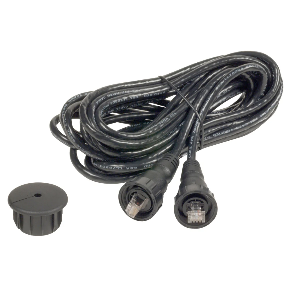
- NMEA 2000 drop cable
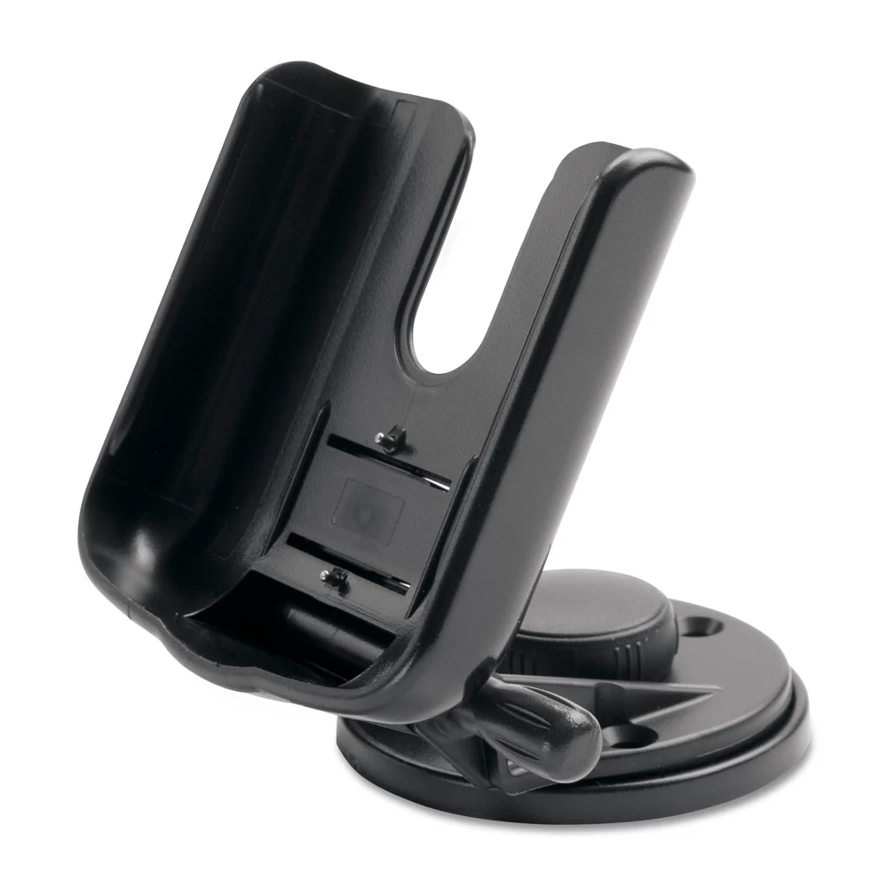
- Bail mount with knobs
- Flush mount kit with gasket
- Protective cover
- Trim piece snap covers
- Documentation
- GPSMAP x3 chartplotters are preloaded with Garmin Navionics+ offshore, coastal, and inland water charts for the U.S. and Canada
 WARNING: This product can expose you to chemicals including NICKEL (METALLIC) which is known to the State of California to cause cancer. For more information go to P65Warnings.ca.gov.
Specifications:
- Cartography Brand: Garmin Navionics+
- Internal/External Antenna: Internal
- Screen Size: 7"
- Touchscreen: Yes
- Box Dimensions: 8"H x 8"W x 12"L WT: 5.8 lbs
- UPC: 753759285296
Original: $999.99
-70%$999.99
$300.00


Description
GPSMAP® 743 Chartplotter GN+
You’re a boater who wants premium features, maps, and charts for your connected helm. This crisp 7" high-resolution chartplotter makes that wish come true.
Get a sharper view from your connected helm with the GPSMAP® 743 chartplotter. Its higher-resolution 7” display has 60% more pixels than previous-generation chartplotters. The ultra-sleek design with nearly double the processing power of previous-generation GPSMAP devices offers seamless integration into your Garmin marine system. Preloaded Garmin Navionics+™ coastal charts and inland mapping feature Auto Guidance+™ technology (Auto Guidance+ is for planning purposes only and does not replace safe navigation operations.) for confidence in helping you get where you need to go. Plus, there’s support for optional Garmin Navionics Vision+™ premium map content. Easily build your marine system — from compatible sonar and autopilots to compatible radar, cameras and multimedia — by using HTML 5.0, NMEA 2000® and NMEA 0183 networking, J1939 for engines, and the Garmin Marine Network. Add FrontVü™ forward-looking sonar (sold separately) (The ability to effectively avoid forward collisions with FrontVü sonar decreases as speed rises above 8 knots) which can help in avoiding underwater obstructions ahead. Or pair your plotter with your other compatible Garmin devices, such as quatix® marine smartwatches, wind transducers, wireless remote controls, and more.
Features:
- Higher-resolution touchscreen display offers improved sunlight readability with 60% more pixels than previous-generation 7” units
- Fast and responsive, with nearly twice the processing power of previous-generation GPSMAP® devices, this system references 10 Hz GNSS (GPS, GLONASS, and Galileo) for accurate positioning and smooth speed as well as COG data
- Slimline display borders, edge-to-edge glass, and reduced unit footprint make for easy retrofit in a wider range of dash configurations
- Preloaded Garmin Navionics+™ coastal charts and inland mapping feature Auto Guidance+™ technology (Auto Guidance+ is for planning purposes only and does not replace safe navigation operations) ; plus, there’s support for optional Garmin Navionics Vision+™ premium map content
- Built-in Garmin SailAssist™ features, including laylines, race features, set and drift, wind data and more. Requires compatible wind transducer (sold separately)
- J1939 engine connectivity for easy integration with engines and our exclusive OneHelm™ feature for connecting to compatible third-party devices, such as EmpirBus™ digital switching
- Easily build your marine system — from compatible sonar and autopilots to compatible radar, cameras and multimedia — by using NMEA 2000® and NMEA 0183 networking and the Garmin Marine Network
- Use built-in Wi-Fi® networking to pair with the free ActiveCaptain®smartphone app for access to the OneChart™ feature, smart notifications, software updates, and more
- Integrated ANT® connectivity support for use with compatible quatix® smartwatches, the gWind™ Wireless 2 transducer, GNX™ Wind marine instrument, and wireless remote controls (sold separately)
What's In The Box?
- Chartplotter
- microSD preinstalled
- Power cable
- NMEA 2000 T-connector
- NMEA 2000 drop cable
- Bail mount with knobs
- Flush mount kit with gasket
- Protective cover
- Trim piece snap covers
- Documentation
- GPSMAP x3 chartplotters are preloaded with Garmin Navionics+ offshore, coastal, and inland water charts for the U.S. and Canada
WARNING: This product can expose you to chemicals including NICKEL (METALLIC) which is known to the State of California to cause cancer. For more information go to P65Warnings.ca.gov.
Specifications:
- Cartography Brand: Garmin Navionics+
- Internal/External Antenna: Internal
- Screen Size: 7"
- Touchscreen: Yes
- Box Dimensions: 8"H x 8"W x 12"L WT: 5.8 lbs
- UPC: 753759285296